
Hi-tech trials boost research on native forest carbon stocks
21 Aug 2024
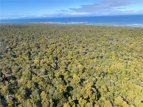 |
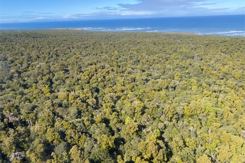
| Mixed Podocarp Broadleaved Forest in the Waitutu area. Credit: Alex Fergus. |
Media release | Trials collecting data on forests using helicopter-mounted hi-tech 3D lasers are underway, which could have significant benefits for climate change mitigation and conservation.
“We need to make the most of the latest, most accurate and efficient tools for measuring forest carbon and forest health at a large scale,” Terry Greene, DOC Science Monitoring Advisor, says.
“Trees absorb carbon dioxide – a greenhouse gas – and store it as solid carbon in trunks, leaves, roots and branches. Therefore, knowing the size of the trees in our forests is crucial for our national carbon reporting and forest management.
“Traditionally, we’ve used manual instruments to measure tree heights. Now we have more sophisticated measuring technology, such as remote sensing, at our disposal.
“However, we need to do rigorous testing and ground-truthing to ensure the new technology is giving us accurate data on the size of trees.”
Remote sensing is the science of obtaining information about objects or areas from a distance, typically from satellites, aircraft or drones. For this research, laser technology (known as LiDAR) from helicopters and light planes is used to produce high definition, 3D images of a landscape including the vegetation.
DOC has contracted Manaaki Whenua – Landcare Research scientists to do the trials. Manaaki Whenua recently established a one-hectare indigenous forest field test site in Waitutu Forest, Fiordland, working with Waitutu Incorporation and Interpine Innovation (a Rotorua-based forestry service).
A second test site is currently being established in the Coromandel, and Manaaki Whenua will set up six more test sites across Aotearoa over the next two years.
James Shepherd, lead researcher and Manaaki Whenua senior scientist, says joining up remotely sensed data and ground measurements is a challenge, especially in Aotearoa given the range of terrain, ecosystem types and tree species.
“For all the test sites, on-the-ground teams will use LiDAR technology to obtain data across the forest floor, while either a helicopter or a fixed wing plane collects LiDAR data from above the same area.
“Data from the ground and the air is stitched together creating digital images of the forest structure. It also provides positions of individual trees with a high degree of accuracy.
“As a follow up, to test the effectiveness of the technology and collect valuable ground-based data, field teams will return to the forest and measure and identify all the trees within the plot.”
This research will also help Manaaki Whenua produce maps to help researchers, landowners and businesses with the management of carbon storage and emissions in native ecosystems.
Terry Greene says the research and data produced will mean any future remote sensing methods – not just LiDAR – can be ground-truthed at these sites.
“Our goal is also to improve our interpretation and understanding of remote sensing of forest structure and composition information – whether obtained by satellite or aerial photographs.”
The remote sensing trials on public conservation land are funded by DOC’s Maximising Carbon in Native Systems programme and are complemented by related remote sensing trials being undertaken by the Ministry for Primary Industries’ Maximising Forest Carbon programme.
print this story
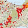
Public conservation land maps show risk of sale
Thu 18 Jun 2026
Media release | Forest & Bird has today released new maps highlighting public conservation land across Aotearoa New Zealand that could be more exposed to development or sale.
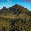
Coromandel protections could be stripped away for mining through hidden law change
Wed 17 Jun 2026
Media release| Forest & Bird is warning that a hidden provision in the Government’s Conservation Amendment Bill could strip away long-standing protections and open up parts of the Coromandel Peninsula to mining.
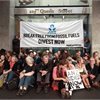
ANZ confronted with petition and video screening after report exposes fossil fuel ties
Mon 15 Jun 2026
Media release: 350 Aotearoa | A petition signed by over 3000 New Zealanders was handed over to ANZ, calling on the bank to cut banking services to coal expansion companies. The petition comes as the annual ‘Banking on Climate Chaos’ report has confirmed that ANZ continues to back fossil fuel expansion.
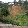
Communities need to prepare for increased landslide risk
12 Jun 2026
Media release: Te Whare Wānanga o Waitaha University of Canterbury | New UC-led research shows where future Cyclone Gabrielle-like storms could cause more landslides and how communities can reduce the risk.
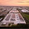
NZ’s largest rooftop solar switched on at Fisher & Paykel Healthcare
11 Jun 2026
Media release | Sunergise, New Zealand’s leading commercial solar company, has switched on the country’s largest-ever rooftop solar installation at Fisher & Paykel Healthcare’s East Tāmaki campus in Auckland.
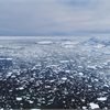
Antarctic surface melt set to increase dramatically this century, new study finds
10 Jun 2026
Media release – Victoria University | New research shows surface melting across Antarctica is set to intensify and spread dramatically over the 21st century, with melt increasing by 10 times and the area affected growing by more than 10 percent by 2100 if global temperatures continue to rise.

The environment needs fixes now, says new director
5 Jun 2026
Media release: Auckland University | Innovative solutions to environmental problems are urgently needed, because our wellbeing depends on it, says Professor Dan Tompkins, the new director of the Centre for Climate, Biodiversity and Society, Ngā Ara Whetū, at the University of Auckland.

Entries open for 2026 Sustainable Business Awards
2 Jun 2026
Media release - Sustainable Business Network | Entries are now open for the 2026 Sustainable Business Awards, New Zealand’s pre-eminent sustainability awards. Now in their 24th year, the Awards celebrate outstanding innovation and leadership in sustainability.

Science losing the long game
29 May 2026
Media release: New Zealand Association of Scientists | Budget 2026 pushes the science system into a quiet purgatory, with zero announcements from the Minister’s office since 1 April.
New Plymouth residents say “no to LNG”
29 May 2026
Media release: Climate Justice Taranaki | At a public meeting in New Plymouth this Tuesday attended by about 100 local residents, the vast majority signed an ‘Urgent Plea’ to stop the proposed Liquefied Natural Gas import facility, addressed to Prime Minister Christopher Luxon, Energy Minister Simeon Brown, and Cabinet Ministers.