
Mapping US coastlines may ‘drive more equality’ in climate adaptation policy
2 Sep 2022
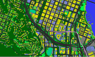
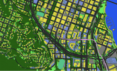
A CANADIAN technology company is building aerial imagery of US shorelines which could be used to help coastal communities mitigate climate change.
By cataloguing the terrain and location of coastal neighbourhoods, policymakers can better predict where heat waves or storm surges are likely to wreak the most havoc. The firm Ecopia AI is making the maps for the National Oceanic and Atmospheric Administration as part of a project to support US coastal communities vulnerable to extreme weather.
... login or subscribe for full story

Trump distorts recent revisions of scientific projections of global warming
Thu 21 May 2026
President Donald Trump recently blasted the accuracy of global warming projections in a Truth Social post that itself painted a distorted view of the science, projections and how the international community discusses climate policy.

How the environmental movement lost its power – and how to get back
Tue 19 May 2026
COMMENT: How did the movement lose its vibrancy? More screen time, less wild habitat available to visit, and a shift to urban living have made Americans less viscerally connected to the splendor of planet Earth.

Trump has hindered offshore wind while China and other countries invest heavily
Mon 18 May 2026
President Donald Trump is stopping offshore wind projects in the United States, just as the industry was poised to grow significantly.

Some inconvenient truths in bringing climate science to the judiciary
14 May 2026
OPINION: Climate science had been knocking on the courthouse doors for quite some time when the Supreme Court of the United States finally invited it into the realm of legal action in 2007.

US EPA moves to speed clean air permits for power plants, industry
13 May 2026
The U.S. Environmental Protection Agency said it would speed up the process for large polluters to obtain clean air permits, the latest move by the Trump administration to ease regulatory burdens on American power plants and industry.

Trump’s Iran war may stymie climate gains with boost to big oil, experts say
11 May 2026
Windfall profits could lock in Trump-era political wins for the industry and slow clean-energy transition.

‘Point of no return’: New Orleans relocation must start now due to sea level, study finds
8 May 2026
The process of relocating people from New Orleans should start immediately, as the city has reached a “point of no return” that will see it surrounded by the ocean within decades due to the climate crisis, a stark new study has concluded.
California’s battery array is as powerful as 12 nuclear power plants. Here’s what’s on the horizon
8 May 2026
An expert in the state’s energy grid explains how the state is faring amid federal cuts.

Alaskan megatsunami triggered by climate change
7 May 2026
The wave at the Tracy Arm Fjord in the Tongass National Forest last year was triggered by a rock landslide which was driven by climate change.

Trump takes a ‘wrecking ball’ to independent scientific advisory board
30 Apr 2026
Without the impartial oversight of its board, the National Science Foundation is now “fully at the behest of the White House,” experts warn.